Thursday, October 18, 2007

Arby's and Morgan's Wonder Boy Restaurants

The original, very first Arby’s Restaurant was located at 90 Boardman-Canfield Road (Route 224) at the corner of Route 224 and Amherst Avenue, the present location of the store Wild Birds Unlimited. Leroy and Forrest Raffel opened the restaurant July 23, 1964, selling it a year or so later to Sam Feldman. The name is from “RB” for Raffel Brothers. In 1965 the brothers followed up with opening a branch in Akron, Ohio. The Raffel Brothers, originally from New Castle, PA, were also in the restaurant supply business according to the Youngstown area city directories.

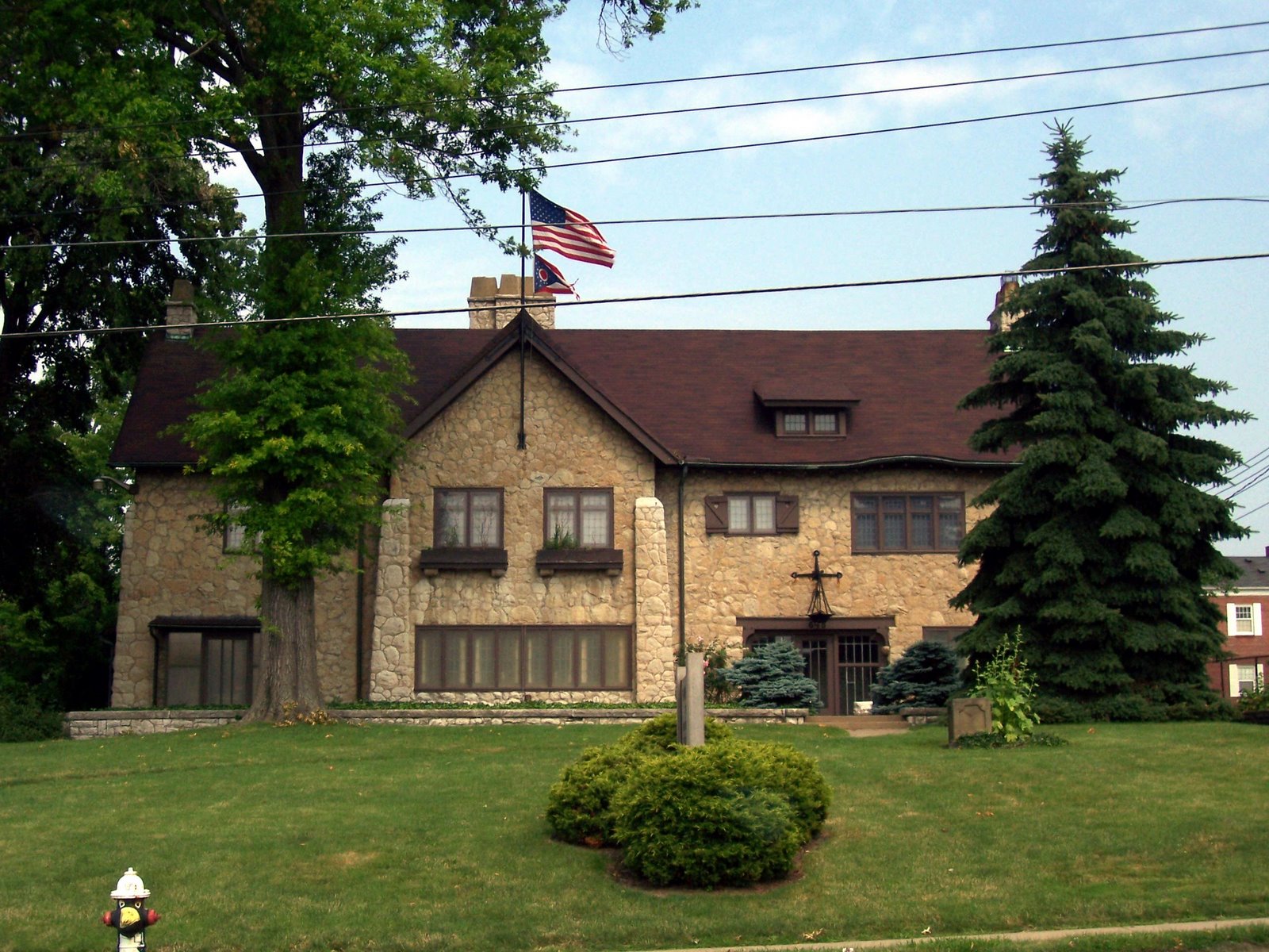
Corporate headquarters for Arby’s Inc. was located on Boardman Street, then along Rayen Avenue before moving to Colonial Drive and then Belmont Avenue. The corporation was purchased by Royal Crown Companies, Inc. in 1976 and the headquarters were moved out of the Mahoning Valley to Atlanta, GA by 1979.


Morgan’s Wonder Boy Drive In Restaurant was located at 7240 Market Street, at the corner of Route 224, in the vicinity of what is now Circuit City (#7230) with Walgreens (#7295) across the street.

Definition of Youngstown Township

The definition of the boundaries of Youngstown Township have been of a fluid nature in the history of the Mahoning Valley. From 1800 to 1913 the township changed its shape and size dramatically before disappearing into the City of Youngstown.

Historical Collections of the Mahoning Valley. Volume I, Youngstown, OH: Mahoning Valley Historical Society, 1876, page 20 provides the following:

“The first Court of Common Pleas and General Quarter Sessions was there (Warren) held on August 25, 1800. At that Court the county was divided into townships for civil purposes. The township of Youngstown, as then organized, comprised the now townships of Poland, Coitsville, Hubbard, Liberty, Youngstown, Boardman, Canfield, Austintown, Jackson and Ellsworth. George Tod was appointed prosecuting attorney of the county, and James Hillman was appointed constable of Youngstown….”

Joseph G. Butler, Jr. in his History of Youngstown and the Mahoning Valley. Volume 1. Chicago: American Historical Society, 1921, page 59; quote from 106 gives further insight. August Term, 1800 set up eight townships in Trumbull County. These Civil Townships were called the Lower Townships: Youngstown, Warren, Vernon, Middlefield. Youngstown Township was an “artificially created civil township embracing Poland, Boardman, Canfield, Ellsworth, Coitsville, Youngstown, Austintown and Jackson” and also Liberty and Hubbard Townships.

For those who are seeking historical information or families in this early time frame, knowledge of the boundaries of the artificial township of Youngstown may be of assist. Youngstown Township’s boundaries were firmly established by the time Mahoning County was split off from Trumbull and Columbiana Counties in 1846, having taken on the designation as Township 2 Range 2. Poland Township received the designation of Township 1 Range 1.

Youngstown Township ceased to exist in 1913 when it was annexed by the City of Youngstown. Parts of Boardman and Coitsville Townships were also affected in 1929-1930 when the City of Youngstown added to its territory through additional annexations.

Where were and what are the Salt Springs?


Natural salt springs were originally located in what is now Weathersfield Township, Trumbull County near present day Niles. Maps dated circa 1755 identified the location, known to early settlers and trappers, as well as Native Americans. Although the springs contained a low concentration of salt, it was an important staple for man and beast alike. The name Mahoning is believed to be derived from the native term for salt lick.

Above: Illustration of the Salt Springs, unidentified source
Below: portion of Henshaw's Map of Trumbull County showing location of Salt Springs, 1830

General Samuel Holden Parsons set out to purchase 25,000 acres of land from the state of Connecticut, which included parts of the current townships of Lordstown, Weathersfield, Jackson and Austintown, encompassing the salt springs. As a result this area became known as the Salt Springs Tract. Parsons traveled to the area and set up a station to extract the salt by the process of boiling, but drowned in November 1789 prior to fully completing the purchase of the land. Parson’s holdings reverted to the state of Connecticut which later sold off the tract in parcels, including the sought after salt springs. Cabins were built near the springs to serve as shelter for those who sought out the mineral.


Views showing location of the Salt Springs, taken by James L. Wick, Jr. August 11, 1963

The level of saline contained in the water was not sufficient for its use to continue much past the early 1800s. Later much of the original springs were covered by tracks laid by the Baltimore and Ohio Railroad Company. In 1952 a small spring still bubbled “through a drain tile” winding “through a small valley off the Carson-Salt Spring Road.”


Suggested Reading:
Historical Collections of the Mahoning Valley, Volume I. Youngstown: Mahoning Valley Historical Society, 1876, pages 172-173.

Przelomski, Ann N. “Salt Spring Once Important to Area.” Vindicator, 13 April 1952, page A-24.

Howe, Henry. Historical Collections of Ohio, Volume II. Cincinnati, OH: C. J. Krehbiel & Co., pages 175-178 and pages 659-662.